Choose a place or property.
Search an address or city, then select the intended match. An address point is a starting location; confirm the parcel before treating it as a site boundary.
For developers, owners, and brokers
Investigate a property with source-linked evidence, visible gaps, and editable development assumptions before committing to deeper diligence.
Start with an address. Check the source. Decide what to verify next.
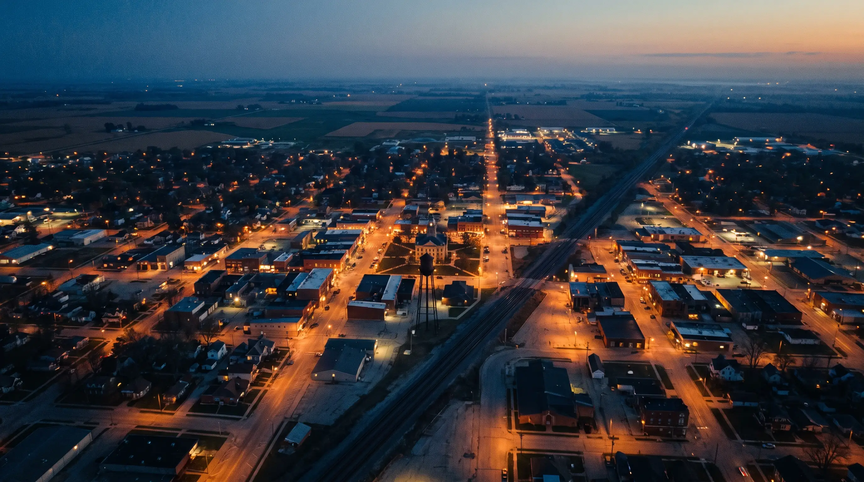
Illustrative city imagery. No property or planning outcome is depicted.
One place to start the question
Evidence you can inspect
Unknowns you can assign
01 / A focused first read
Move quickly through the early research while keeping the assumptions and missing checks in view.
Search an address or city, then select the intended match. An address point is a starting location; confirm the parcel before treating it as a site boundary.
Read cited sources alongside data gaps and conflicts. Keep public records, your inputs, and model interpretation distinct.
Change development and financial inputs, save the open questions, and decide which specialist or official record should answer them.
02 / Recorded research example
For a public Anderson, Indiana address, Cividian's recorded source intake returned a Census Geocoder address match. The record itself labels the location approximate and keeps parcel identity unresolved.
Recorded September 22, 2026 · 120 E 8th St, Anderson, IN 46016
Inspect the cited geocoder sourceRecorded source intake, not a completed site feasibility finding. Nearby Indiana parcel records were returned, but proximity alone does not identify the subject parcel.
03 / Decisions for your role
Compare a concept with its source coverage and assumptions before assigning deeper diligence.
See where a potential path depends on property records, rules, or professional review.
Separate sourced facts from proposed uses and give the next buyer a clear question list.
04 / The decision boundary
City-level screening and model outputs help prioritize research. A site decision requires property-specific records, surveys, professional analysis, and official determinations where applicable.
See evidence and limitations in the productSource-linked public data, visible gaps, editable scenarios, and an investigation plan.
Parcel identity, ownership, zoning and entitlement, utilities, costs, returns, and municipal approval.
05 / See it with your question
Tell us what you are considering and we’ll follow up about a walkthrough. You can also explore the product yourself now.
Explore a site insteadA clearer next step starts with a question.